
Downtown Urbana Historic District: Boundaries, Buildings and History |
A closer look at the formally documented district and how to explore its streets with care |
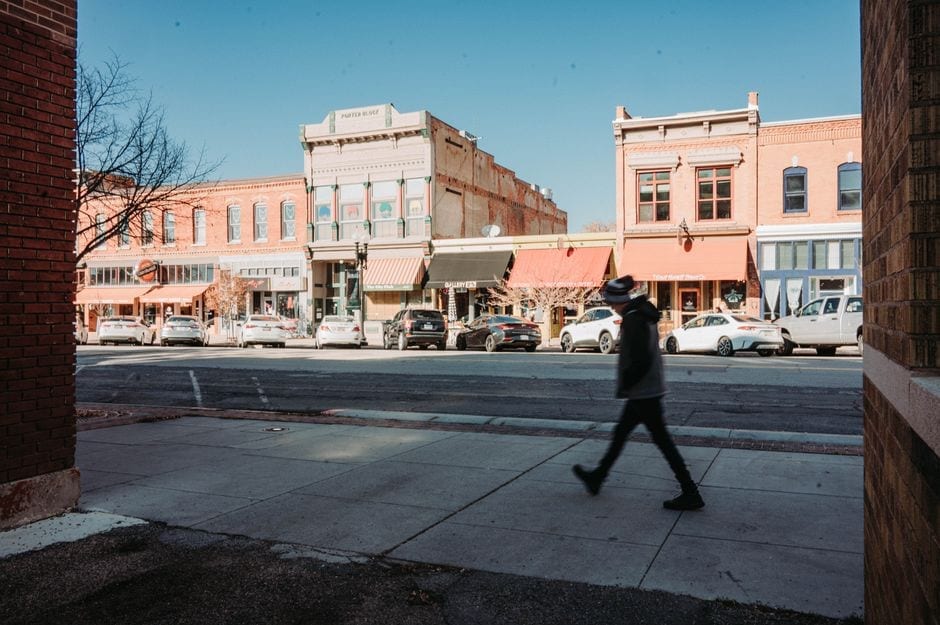
A downtown district shaped by Urbana's history
In downtown Urbana, a short walk across a few blocks can pass storefronts, civic buildings and architecture from several periods of the city's growth.
The Downtown Urbana Historic District is a formally defined National Register area, not a casual label for every block people consider downtown.
The City of Urbana's nomination describes a district generally bounded by Illinois Street, Cedar Street, Goose Alley, Water Street, Walnut Street and Vine Street.
For a visitor asking what the district is and where it sits, the direct answer is that it is a recognized historic area near Urbana's downtown core, with boundaries set out in the city's nomination materials.
What the designation means
The National Register of Historic Places records places recognized for their historical or architectural significance.
Urbana's historic preservation page distinguishes National Register listings from local historic landmarks and local historic districts.
As of the city's March 2024 update, Urbana lists 20 properties designated as local landmarks and three local historic districts, while 28 properties are listed individually or as part of a National Register district.
The city's nomination identifies 42 contributing and three non-contributing structures in the proposed district.
Railroads and the commercial center
The Urbana Downtown Historic District nomination identifies the oldest buildings in the district as dating to the 1870s.
It notes that many structures reflect later nineteenth-century and early-to-mid twentieth-century development.
Architecture and adaptation
Urbana's district includes buildings associated with commerce, local government and architecture.
The National Park Service's catalog lists architectural styles in the district that include Italianate and Romanesque Revival.
Fire, rebuilding and civic life
Plan a respectful walk
A route can begin near a public street and proceed block by block using the official district boundary map.
What to look for on the ground
The district nomination contains historical notes and a boundary description, while the National Park Service entry summarizes the listing's significance and catalog information.
Use those sources to separate documented facts from a visitor's own observations.
Why the boundary matters
People often use downtown as a broad everyday term, while the historic district is a bounded area documented for preservation purposes.
Urbana's nomination gives the boundary streets and alleys, so residents and visitors can identify the district without inventing neighborhood limits.
The National Register catalog describes the area as roughly bounded by Illinois, Walnut, Water, Goose Alley and Cedar streets, while the city nomination adds Vine Street to its general description.
Because descriptions can simplify a complex map, consult the official map when a property sits near an edge.
A practical way to explore
Start with the city preservation page, open the district nomination and note the boundary before choosing a few blocks to walk.
Use the National Park Service listing to confirm the National Register entry, and return to the city record for building-level details.
The downtown district is best understood as both a living commercial area and a documented historic place.
The district's boundary is practical information for anyone comparing a building with the formal preservation record.
Street descriptions help orient a walk, but a map is the better source for a property near a corner or alley.
Urbana's city records identify the district nomination and provide additional documents for local landmarks and districts.
The National Park Service's listing offers a separate federal record for the district.
Reading both kinds of source helps distinguish local preservation status from National Register recognition.
A visitor can choose one or two buildings to research instead of trying to identify every facade during a single walk.
Use a building's street address when asking the city about its history, since similar architectural details can appear on nearby properties.
Commercial streets evolve as businesses open, close and adapt spaces to new uses.
Historic context can make those changes more visible without requiring a visitor to treat downtown as a museum.
Public sidewalks offer a simple way to experience the streetscape while respecting businesses and residents.
Check current business hours independently if a visit includes a meal, shop or indoor stop.
Public records document the district's significance, while current operators determine whether a particular interior welcomes visitors.
The city's historic resource pages can also help residents identify preservation information beyond the downtown area.
Those resources include walking routes and information about important buildings across Urbana.
Residents who want a deeper look can compare the written boundary with the official nomination map.
Keep in mind that the district name refers to this documented area, not all of Urbana's downtown activity.
The boundary and the city's other local designations each answer a different question about place and preservation.
The nomination includes an inventory of properties, which is more useful than relying on a broad impression of age or style.
That inventory gives visitors a way to connect a street address with a documented building record.
Urbana's preservation resources also describe walking tours and a list of important buildings, offering residents options for extending a visit beyond one block.
Use these materials to plan a route around public streets and spaces, and check the city's pages again when researching a specific property.
A building can be historically significant for its architecture, its association with civic life or its role in commerce, and the nomination explains the reasons for this district's recognition.
Those categories describe the area's documented significance rather than promising that every structure offers the same story.
For local businesses, the district is also part of an active downtown setting where visitors may be walking between offices, shops and civic destinations.
Keep the focus on the public realm unless a business has clearly posted visitor information.
Taking a few minutes to read the source record can prevent a familiar but unsupported story from being repeated as fact.
That small habit matters in a place where visible changes may conceal layers of earlier use. |
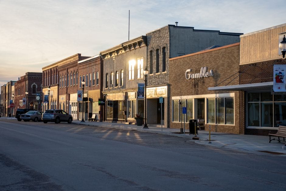 Illustrative stock photo of downtown storefronts, not Urbana, Illinois. Photo by Tom Fisk on Pexels |
0 Comments
Join the conversation
Be the first to comment
Share your thoughts above.